Water Level Monitoring
Tide Gauge
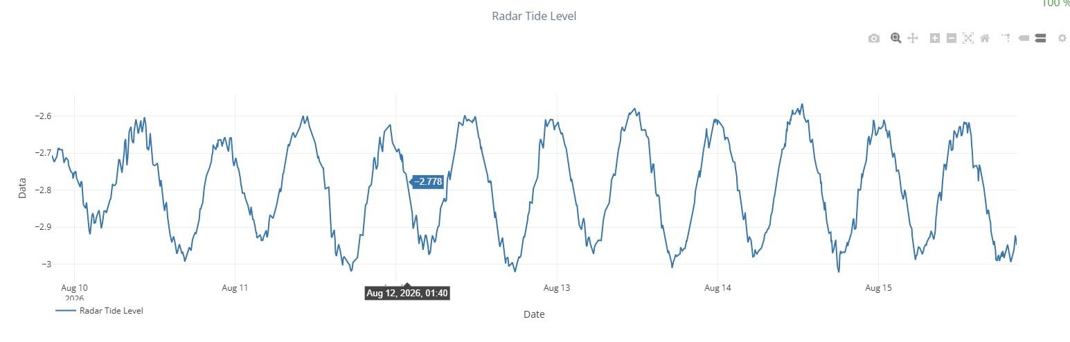
- Radar and pressure sensors
- Continuous water-level data
- Long-term trend analysis
- Supports coastal and aquifer studies
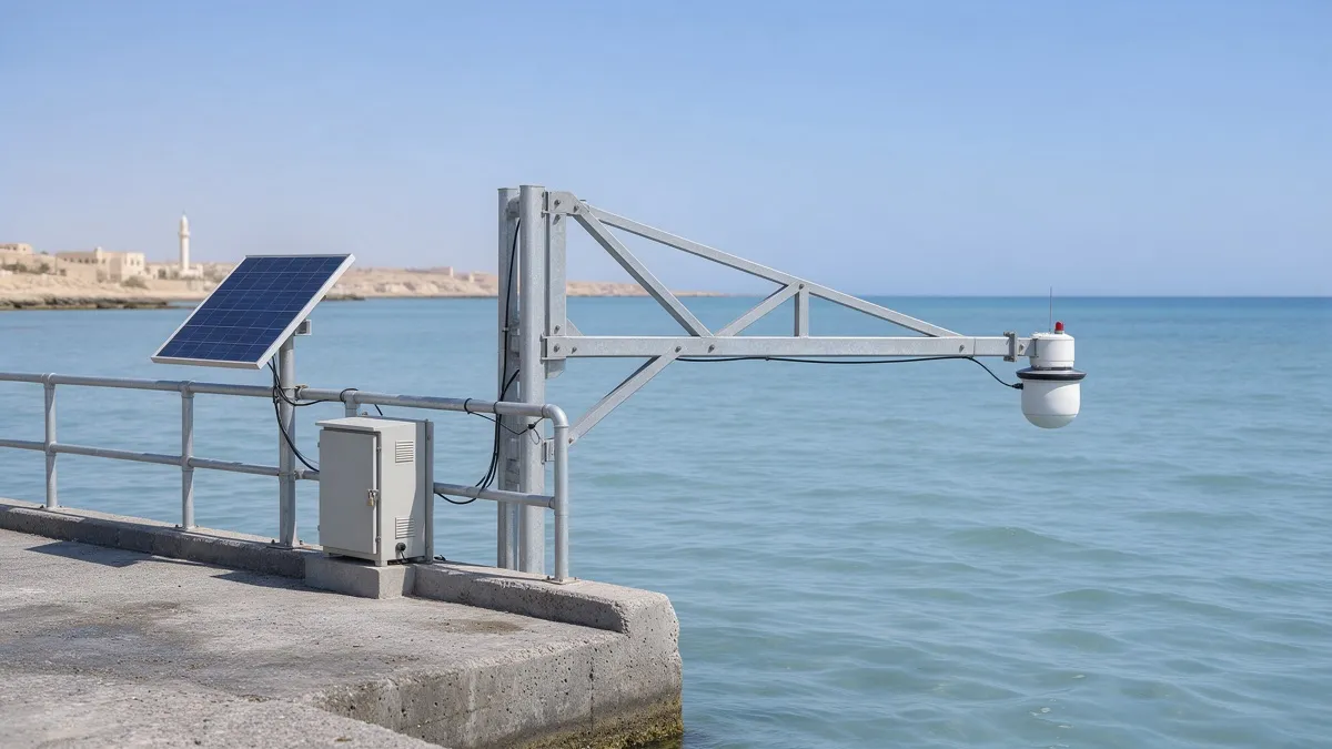
Precision sea-level monitoring, built for the coast
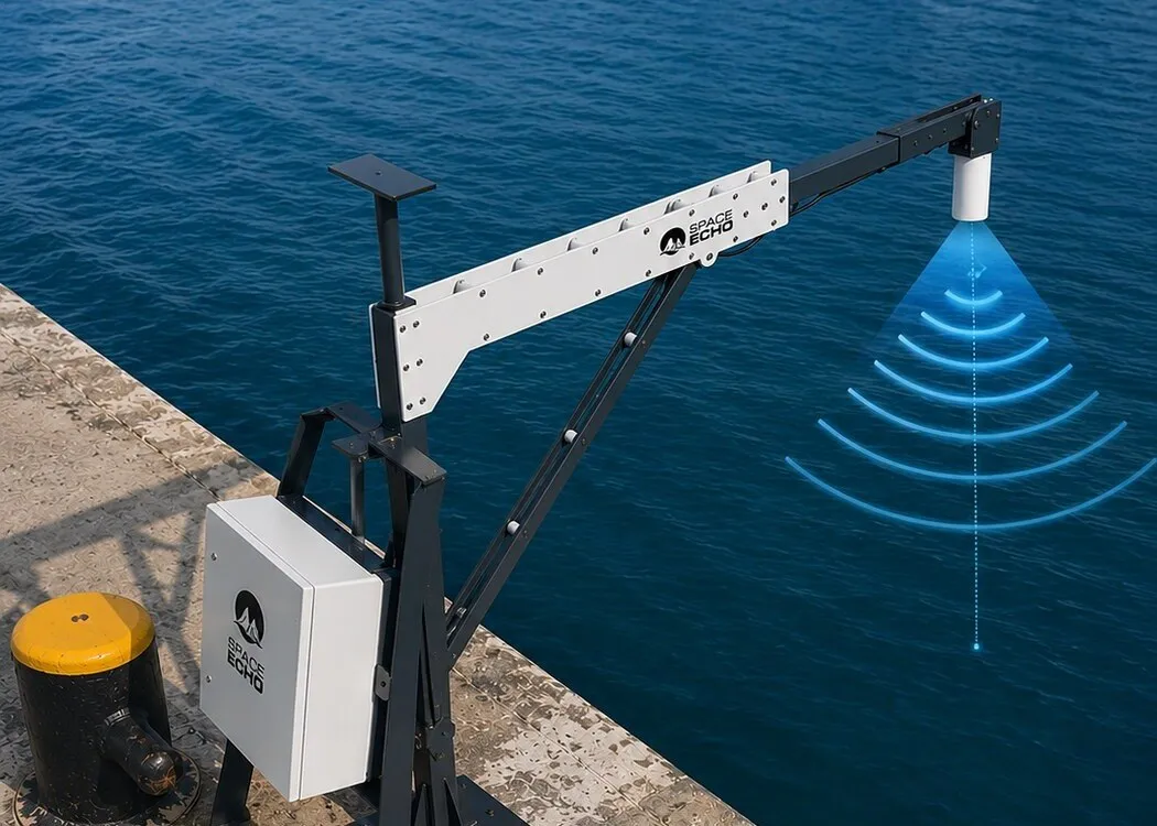
The SpaceEcho tide gauge is a web-connected sea-level monitoring station for ports, harbors and coastal research sites. Radar and submersible piezometric sensors run in parallel for cross-validated readings, a dedicated acoustic sensor tracks surface waves, and a custom stilling-well and intake geometry removes the environmental noise that degrades ordinary tide gauges.
What it measures
- Sea level and tide height
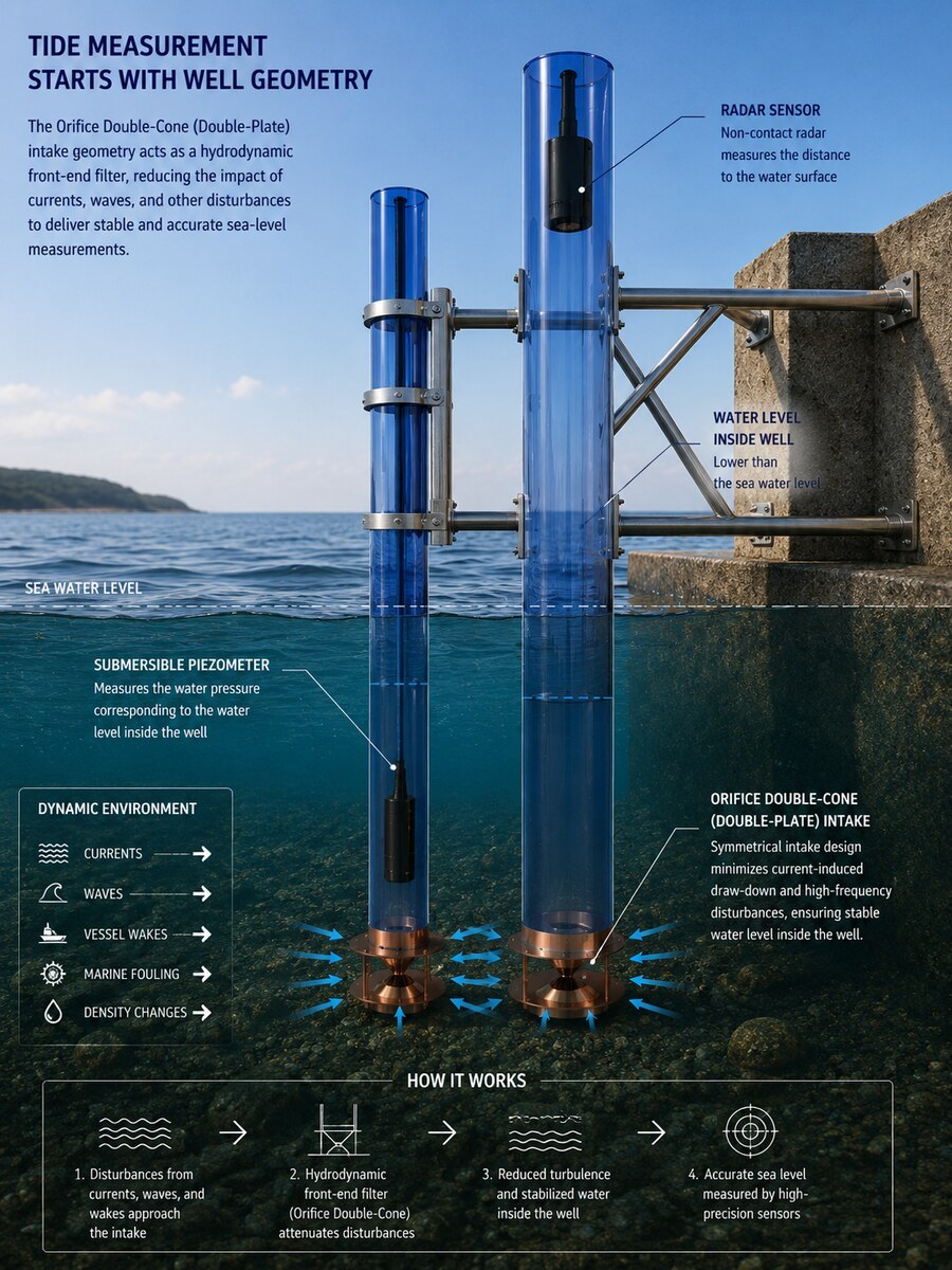
- Redundant radar and submersible piezometric pressure sensing, cross-checked continuously.
- Surface-wave activity
- A dedicated acoustic (ultrasonic) sensor resolves wave behaviour alongside the tidal signal.
- Meteorological suite (Multi-Task Pro)
- Wind speed and direction, temperature, humidity, pressure, solar radiation, UV and precipitation.
- Station health
- Connectivity, power status, charging state, network signal and storage, streamed with the environmental data.
A symmetrical double-cone orifice intake acts as a hydrodynamic front-end filter, offsetting currents, waves, vessel wakes and marine fouling before they reach the sensor.
| Radar accuracy | ±2 mm |
|---|---|
| Measuring range | 0.1–40 m |
| Sensor protection | IP68 |
| Sensor response time | <8 ms |
Hardware, sensor to cloud
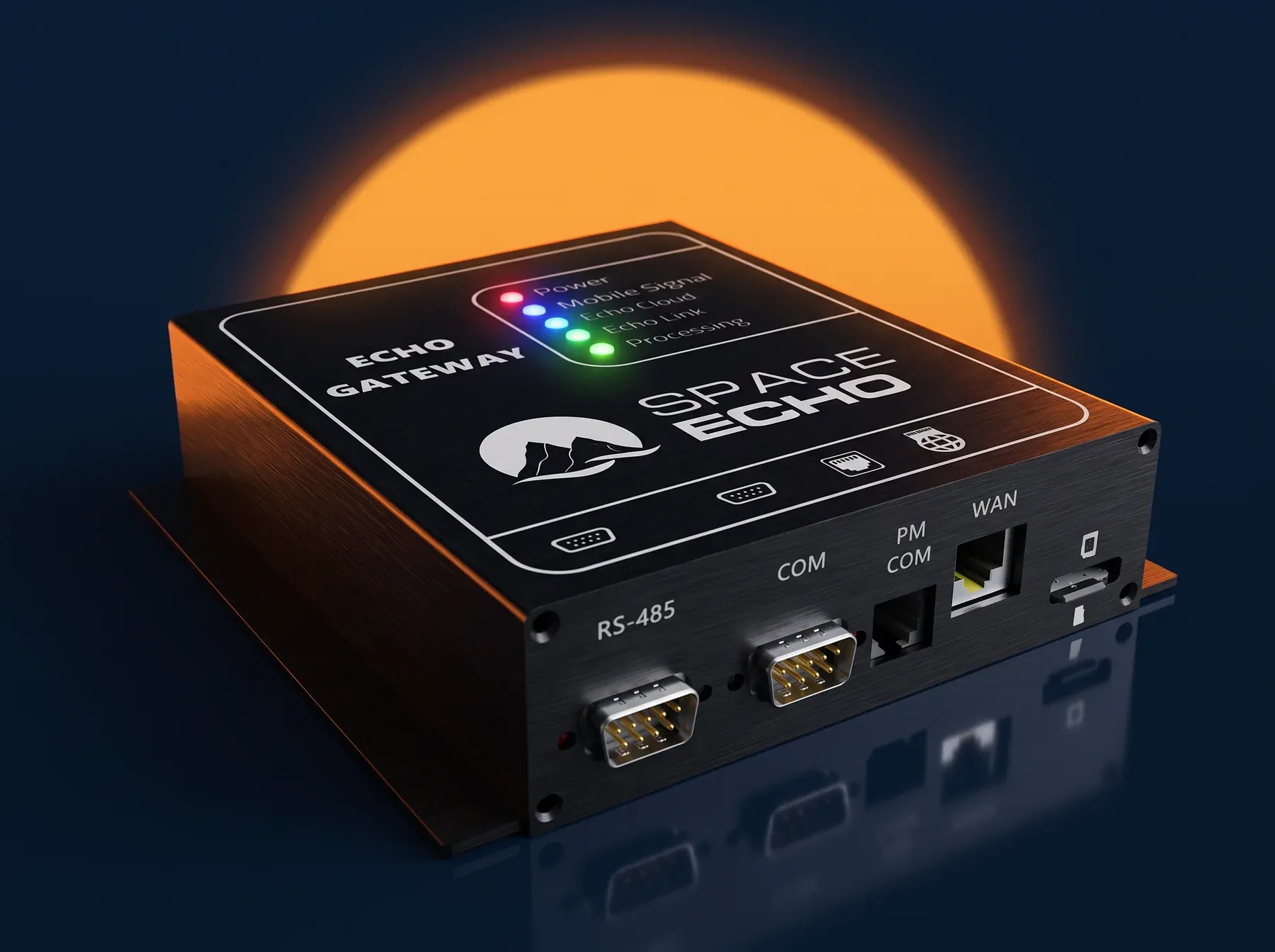
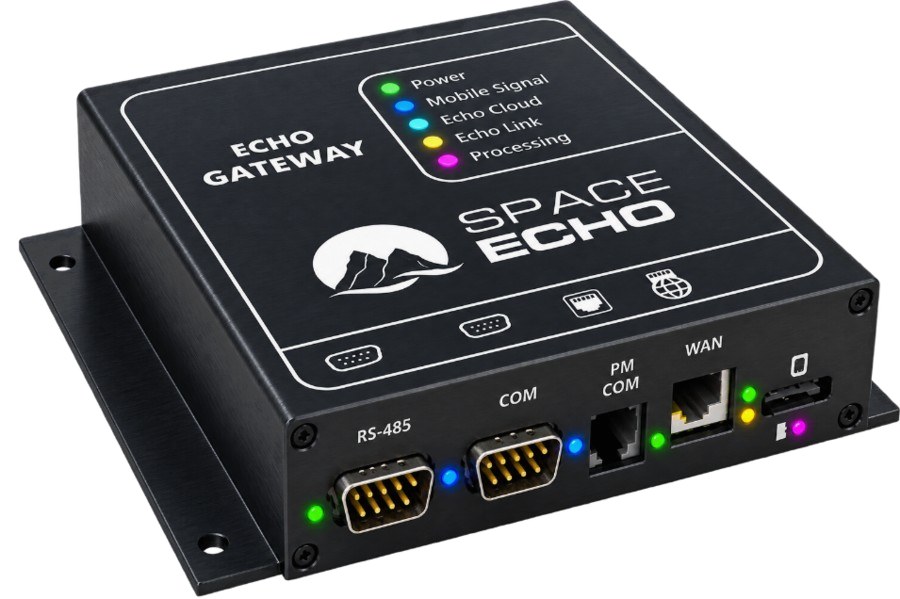
ECHO-Gateway v4 — data logger
Aluminium, panel-mount, 154 × 158 × 39 mm. 3 microSD cards for data, station health and backup, 4G and Ethernet with automatic failover, RS-232 and RS-485 ports, and automatic fault recovery.
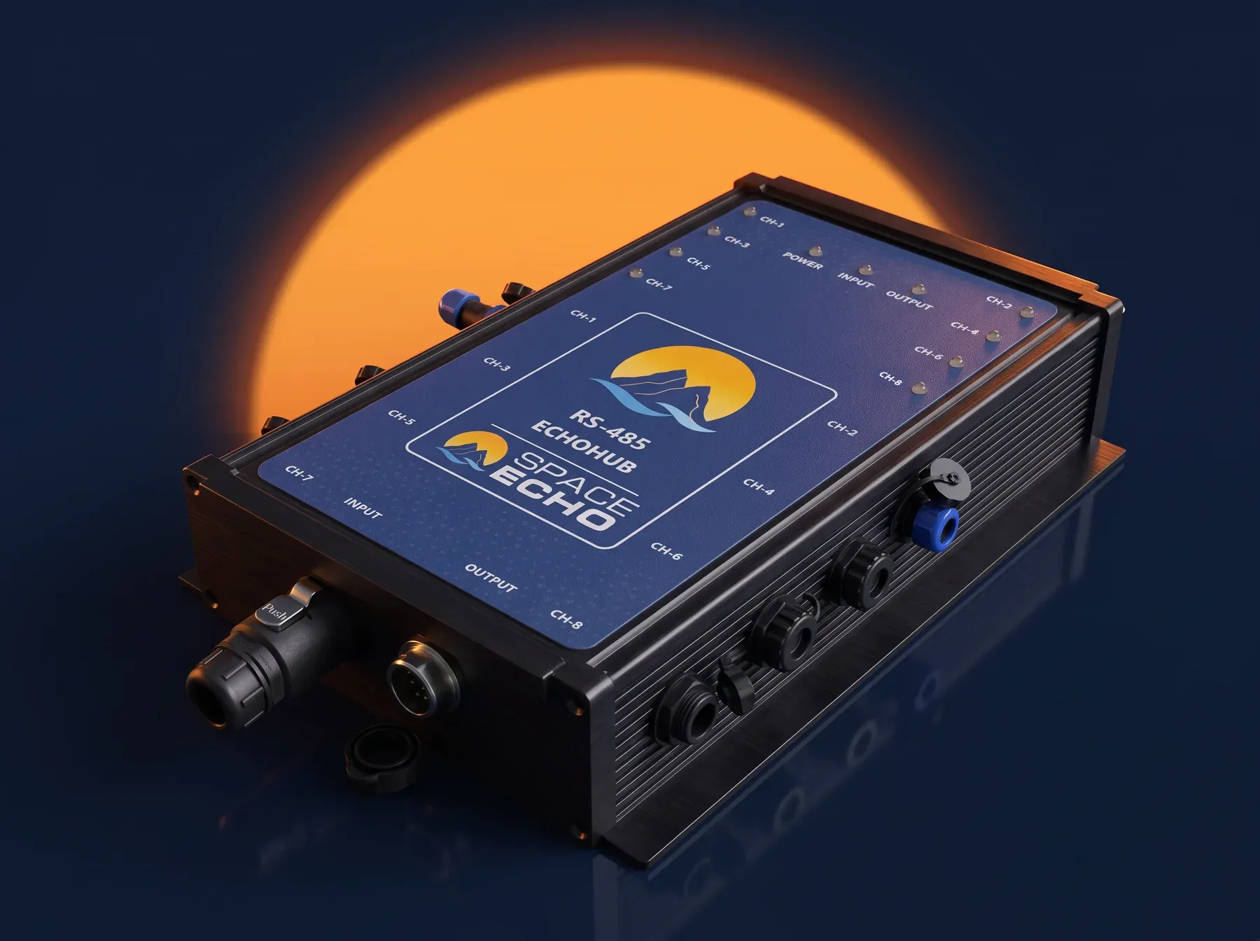
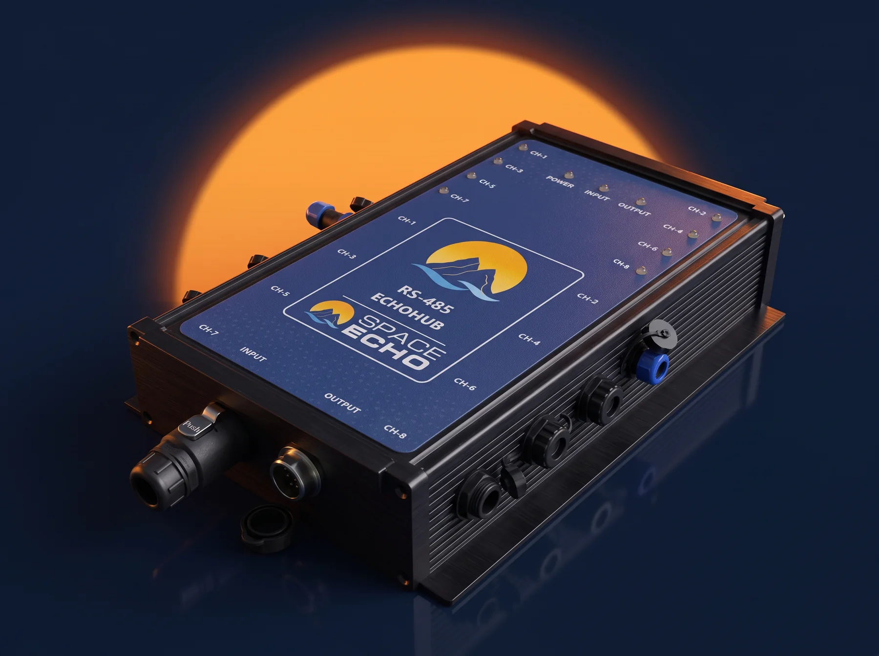
EchoHub-485 — sensor expansion hub
An IP67 RS-485 hub that gives the gateway 8 sensor ports, and up to 32 ports with 4 daisy-chained hubs (120 readings). It supports long wires to the sensors and can stand far from the gateway.
Sensors
| Sensor | Function | Headline spec |
|---|---|---|
| PSL03 | Submersible piezometric level | 0–5 m range, ±0.5 % F.S., <8 ms response |
| RW04 | Radar level sensor | 0.1–40 m range, ±2 mm accuracy, 76–81 GHz, IP68 |
| USW02 | Ultrasonic level and surface-wave sensor | 28–700 cm range, ±1 cm accuracy, 6.6 Hz refresh |
| MET05 | Meteorological unit | Wind speed and direction, temperature, humidity, pressure — IP66 |
| SEMR226 | Radar rainfall sensor | 0.01–200 mm/h; detects rain, snow and hail |
EchoCloud
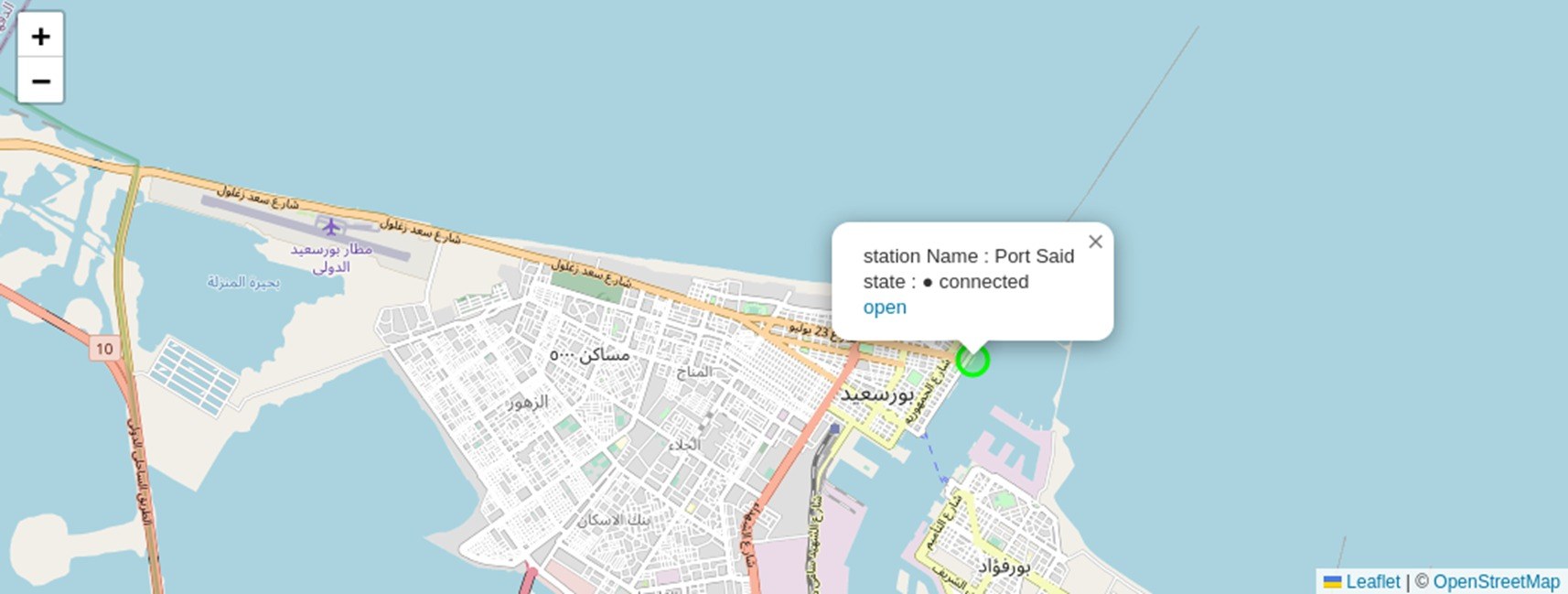
One web interface for real-time visualisation, alerting, historical analysis and remote device management across every connected station.
- Dashboards
- Real-time dashboards, interactive maps and station-health monitoring.
- Alerts
- By email, Telegram and WhatsApp, with 24/7 access and 99.9% uptime.
- Remote management
- Remote configuration, over-the-air firmware updates and on-demand readings.
- Hosting
- On EchoCloud, on a private server, or by direct database integration.
Applications
- Port and harbor operations
- Continuous tide data where vessels berth and move.
- National sea-level networks
- Long-term records from fixed coastal stations.
- Hydrographic surveying
- Tide corrections from a reference station.
- Oceanographic research
- Tide and wave data alongside the meteorology.
- Storm-surge early warning
- Alerts on rising sea level.
- Climate-impact monitoring
- Sea-level trends over years.
Every station comes with a 2-year hardware warranty, 24/7 technical support, and an Arabic and English interface.
In the field
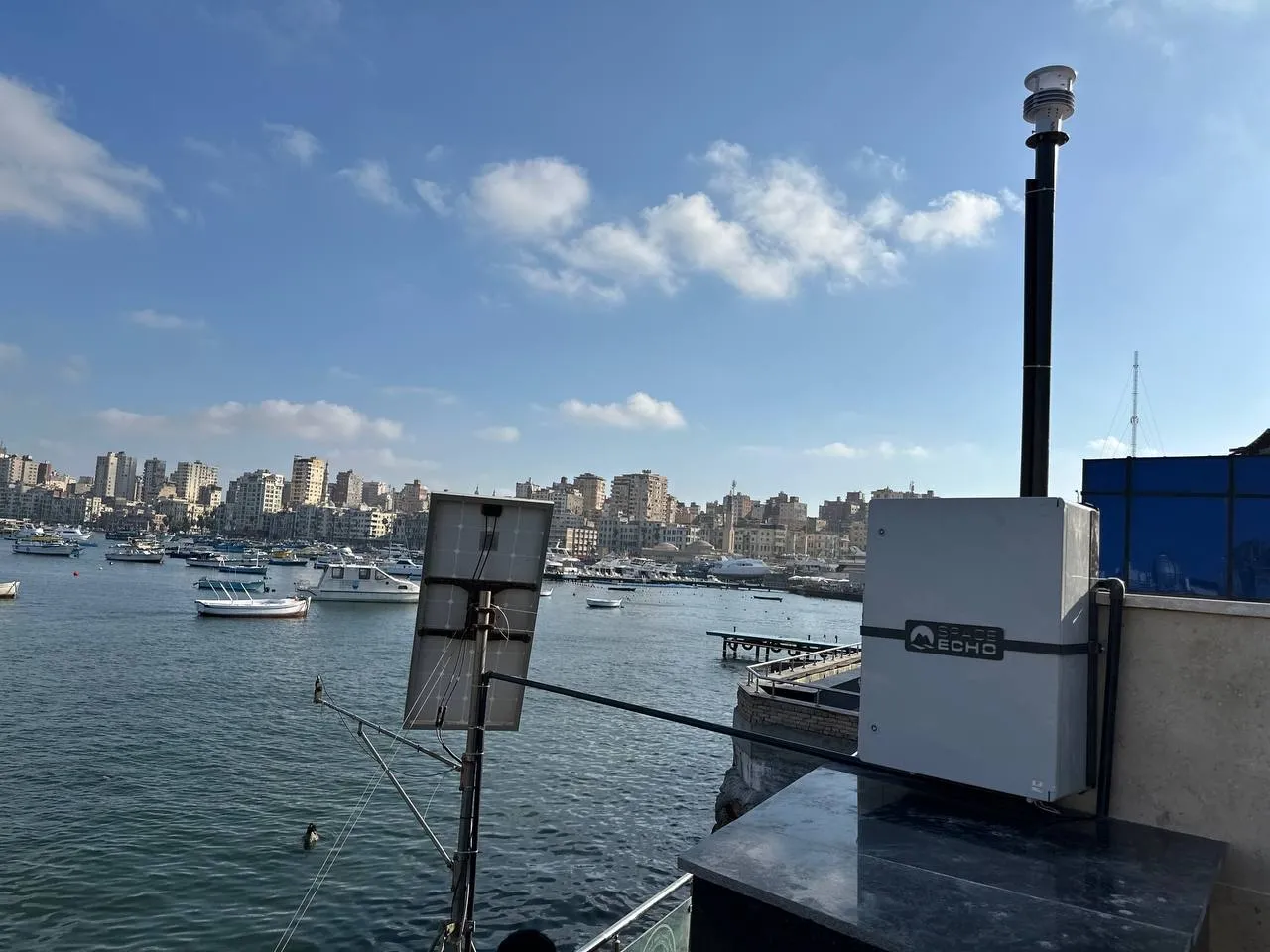
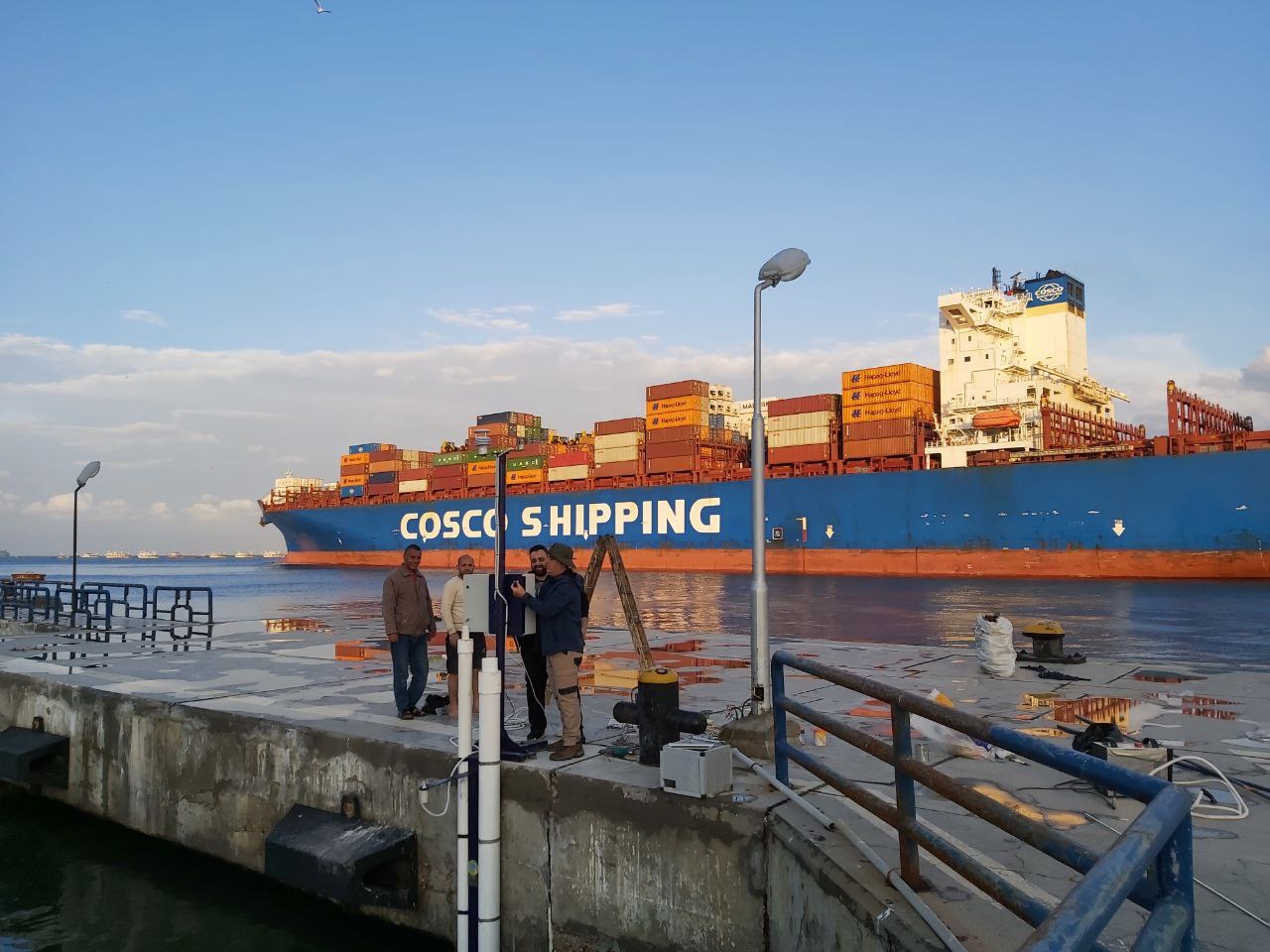
SpaceEcho tide stations are deployed along Egypt's Mediterranean coast, including Port Said, for NIOF and NRIAG.
Request a Quote
Tell us about your site
- A site survey before anything is specified
- Installation, commissioning and operator training
- EchoCloud access from the day the station reports
Working with





Request received
Thanks — our team will contact you shortly.